Drones flying along miles of rivers in the steep, mountainous terrain of central Taiwan and mapping the rock properties have revealed new clues about how water helps shape mountains over geological time.
The researchers, including EMES Department Chair Dr. Eric Kirby, found a link between the size of boulders in the rivers and the steepness of the rivers. The link shows how rock properties can influence the relationship between tectonic processes happening deep underground and how mountainous landscapes change shape. They reported this research in the journal Science Advances.
Drone footage of boulders in river channels in mountainous central Taiwan is shown alongside with a 3D model scientists created using the data. Credit: Provided by Julia Carr.
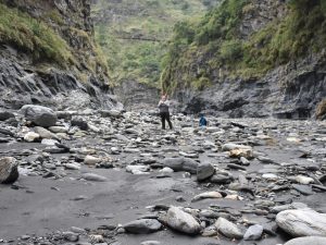
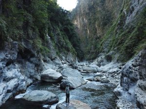
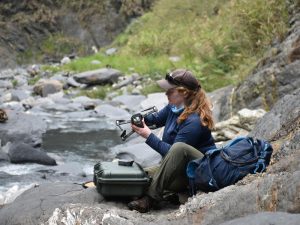
In order to gather data, the researchers used drones to go around hazards including waterfalls and dangerous river crossings. Along about eighteen miles of rivers, the scientists measured almost 22,000 boulders and hundreds of thousands of river channel morphology during these surveys.
These boulders aren’t sitting in the rivers waiting to be broken down over time, according to the researchers. Instead, boulders in each of the sections of rivers were close to the threshold of mobility — meaning the water was nearly powerful enough to move them downstream. During high flows after storms, these boulders may be fully mobile, and as they move, they help incise the river. The link between metamorphic history, boulder size, and channel steepness reveals how rock properties can influence feedbacks between tectonics and topography throughout the life span of a mountain range.
The National Science Foundation supported this work.
Click Here to read the rest of the Press Release.


